Remote Sensing of Paradise
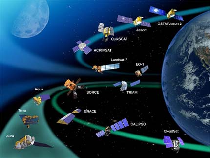
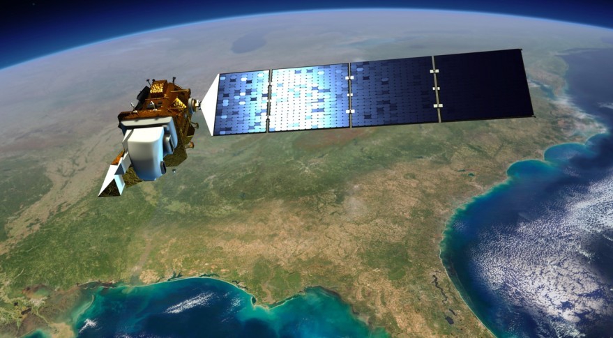
HawaiiView is part of AmericaView, a nationwide partnership of remote sensing scientists who support the use of Landsat and other public domain remotely sensed data through applied remote sensing research, K-12 and higher STEM education, workforce development, and technology transfer.
HawaiiView
What We Do
We advance the availability, timely distribution, and widespread use of remote sensing data and technology.
We advance education by providing remote sensing training and tools for educators at the K-12 and higher levels.
We identify unique research and development needs, foster remote sensing pilot projects, and to establish longer term opportunities for transfer of remote sensing technologies.
Why You’ll Love Remote Sensing
There is never been a better time to explore and utilize remote sensing data and technology. Remote sensing means accuracy, efficiency, comprehensiveness, and intelligence. We’re coming into a fantastic time for remote sensing and earth observations.
- Accurate
- Efficient
- Comprehensive
- Non-intrusive
- Intelligent
“Excellent Consortium”
The consortium is excellent! I really find very useful remote sensing information and resources relevant to Hawaii.
Fiona
“Love the Data”
I found remote sensing data useful to my research projects.
Joseph
“Fun Earth Observation Day”
I’m really appreciating the information learnt from the earth observation day presentations.
Michelle
Try with our Data
Our Favorite Data
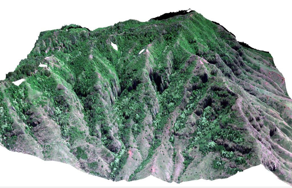
- Big Island Vegetation Height Map ReleasedL2VHM-BI: Landsat- and Lidar-based Vegetation Height Map for Big Island – HawaiiView
- Maui Forest Height Map Released
- Statewide Uluhe maps released
