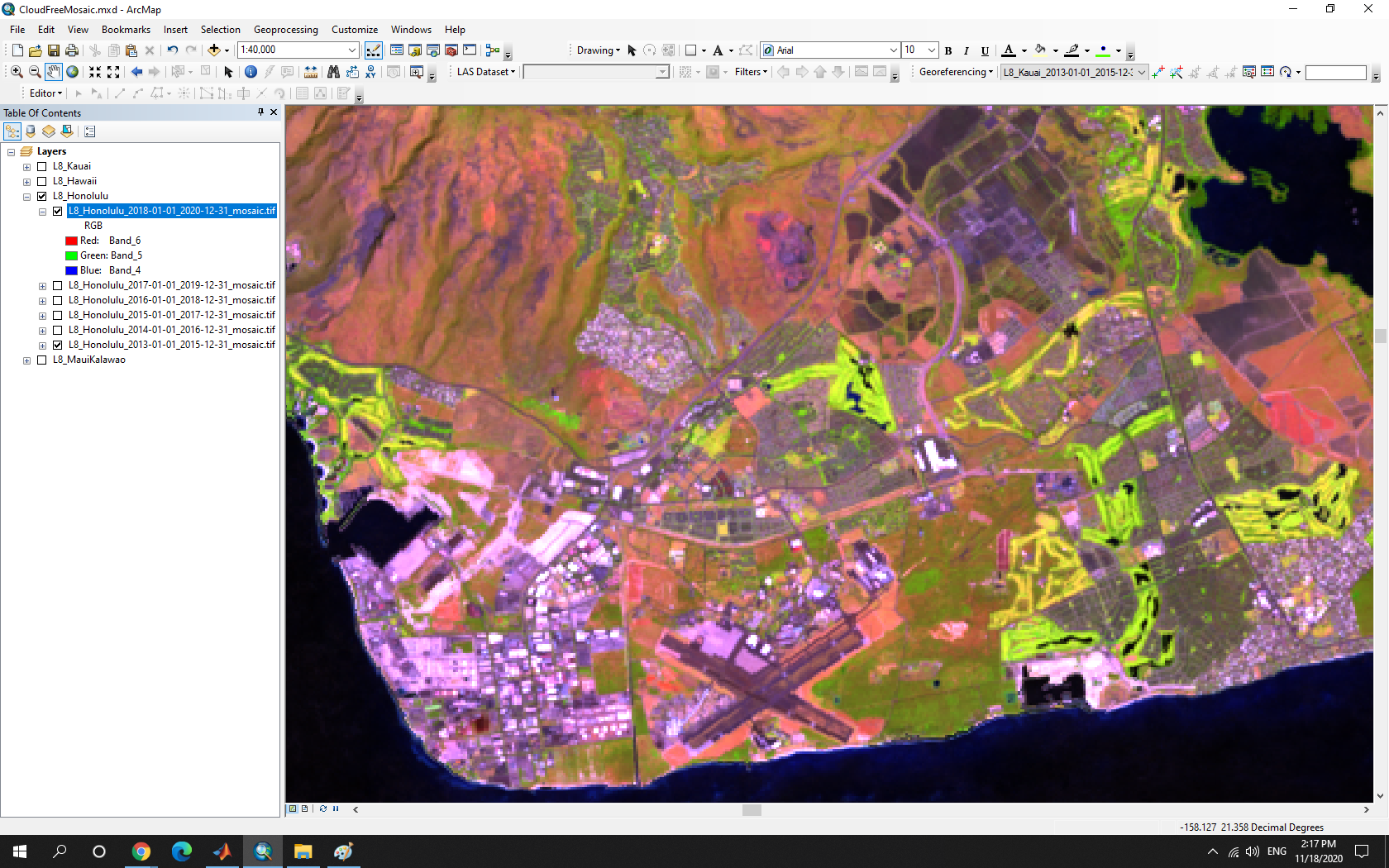
Paradise cannot be seen well from space because of cloud. In Oahu, for example, the average cloud cover is >60% and only one Landsat 8 (L8) satellite image has cloud cover of <10% since 2013. Cloud persists over the mountain ridges particularly.

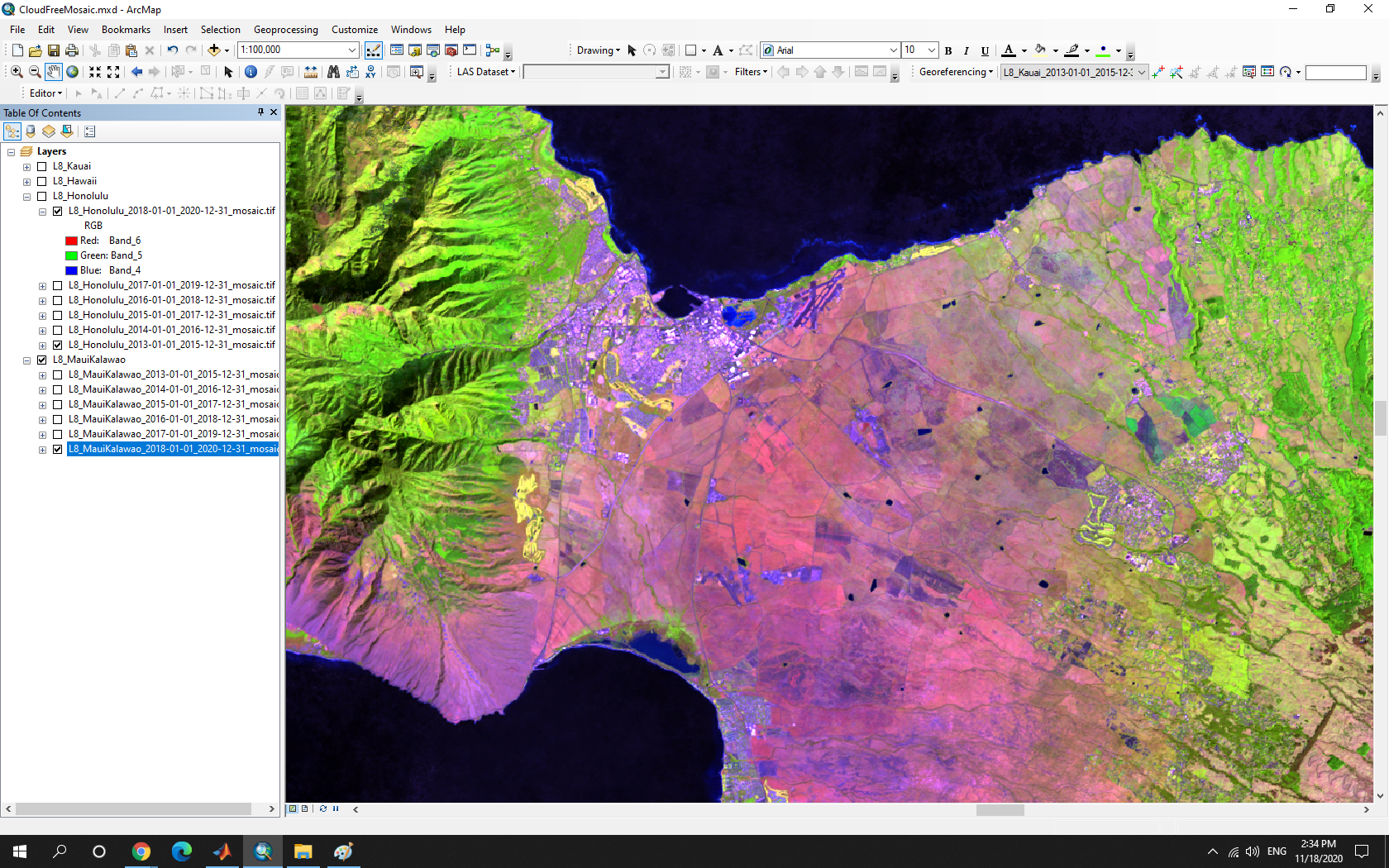
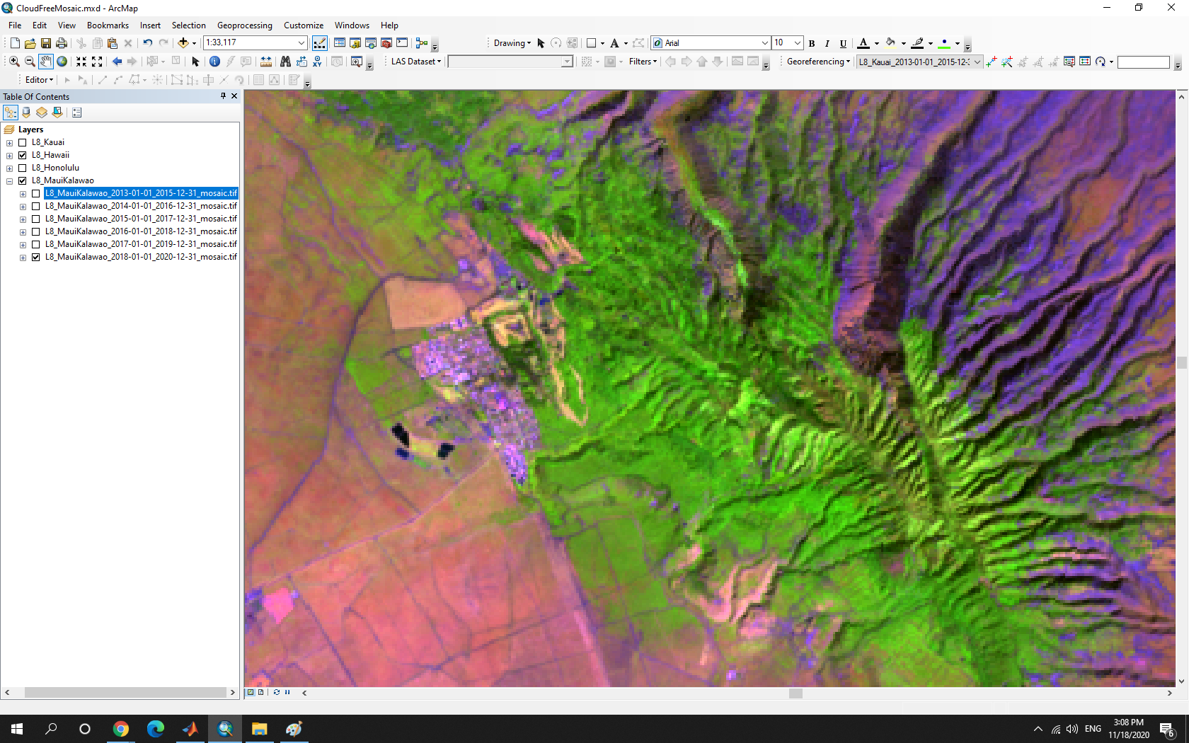
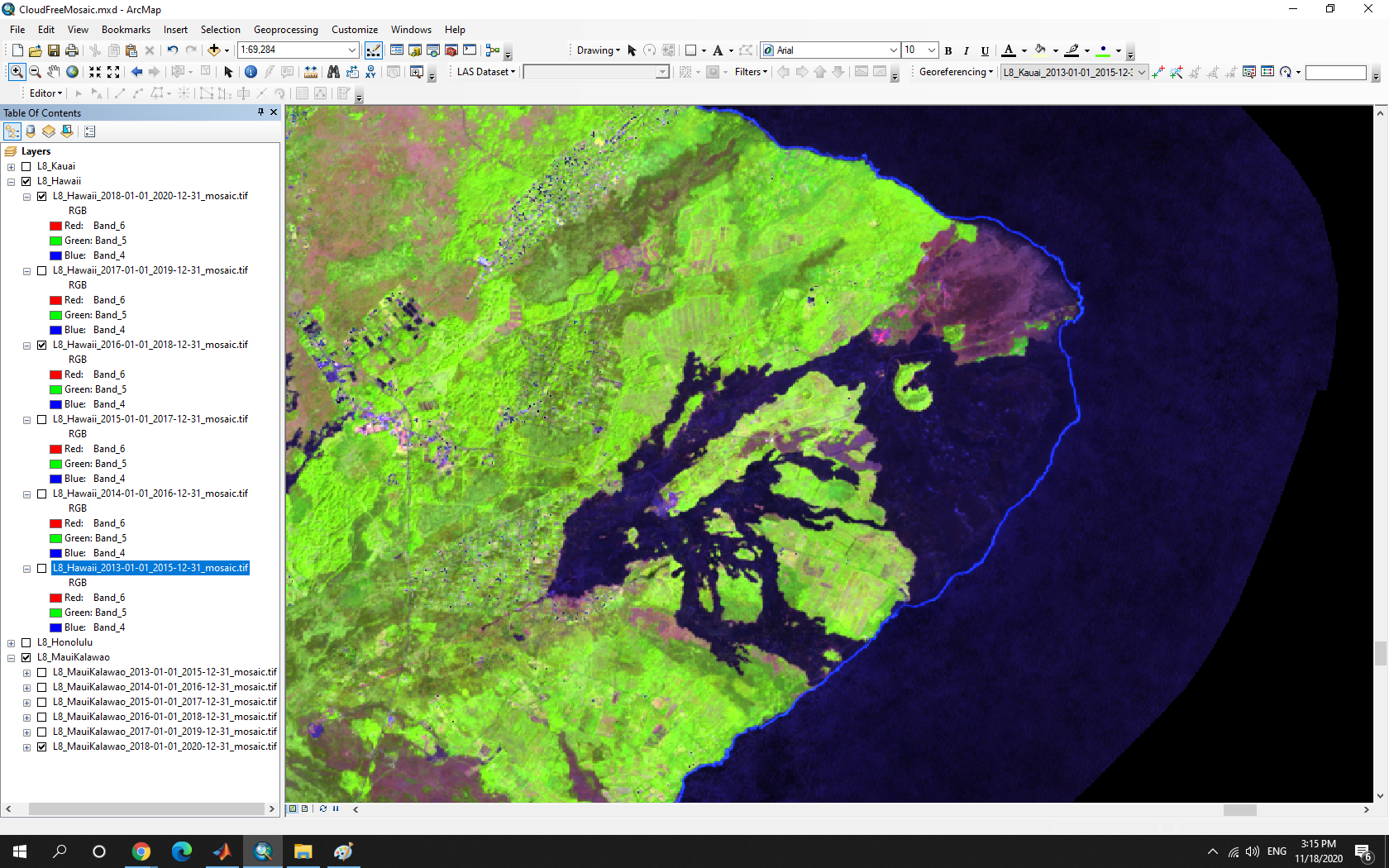
HiMACC is an annual Cloud-free Composite (CC) image dataset created from L8 satellite imagery from 2013 to 2021. The CC image of any given year was created by merging the L8 top-of-atmosphere (TOA) reflectance images from that year and the two neighboring years.
HiMACC, as a multi-temporal dataset, is ideal for studying environmental changes related to processes such as urban expansion, agricultural abandonment, forest restoration, volcanic eruption, and land-climate interaction.
Use Case: Agricultural Abandonment, Central Maui. (Left) 2014, (Right) 2019

Use Case: Urban Expansion, West Oahu. (Left) 2014, (Right) 2019

Use Case: Forest Loss, Molokai. (Left) 2014, (Right) 2019.
Use Case: Forest Restoration, Lanai. (Left) 2014, (Right) 2019

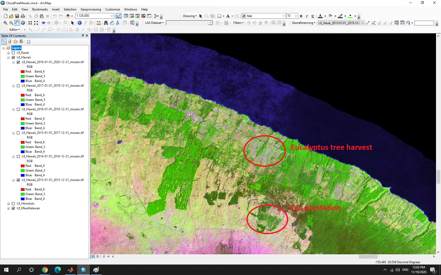
Use Case: Eucalyptus Tree Harvest & Koa Tree Plantation, Big Island. (Left) 2014, (Right) 2019
Use Case: Kīlauea Volcano Eruption & Coastal Line Expansion, Big Island. (Left) 2017, (Right) 2019
Disclaimer and Term of Use: The data is provided AS IS. We make no warranty of any kind, express or implied, concerning this information, including but not limited to any warranties of merchantability or fitness for any particular purpose. We assume no responsibility or legal liability concerning the Data’s accuracy, reliability, completeness, timeliness, or usefulness. Please acknowledge HawaiiView and PI Qi Chen if you use the data.
