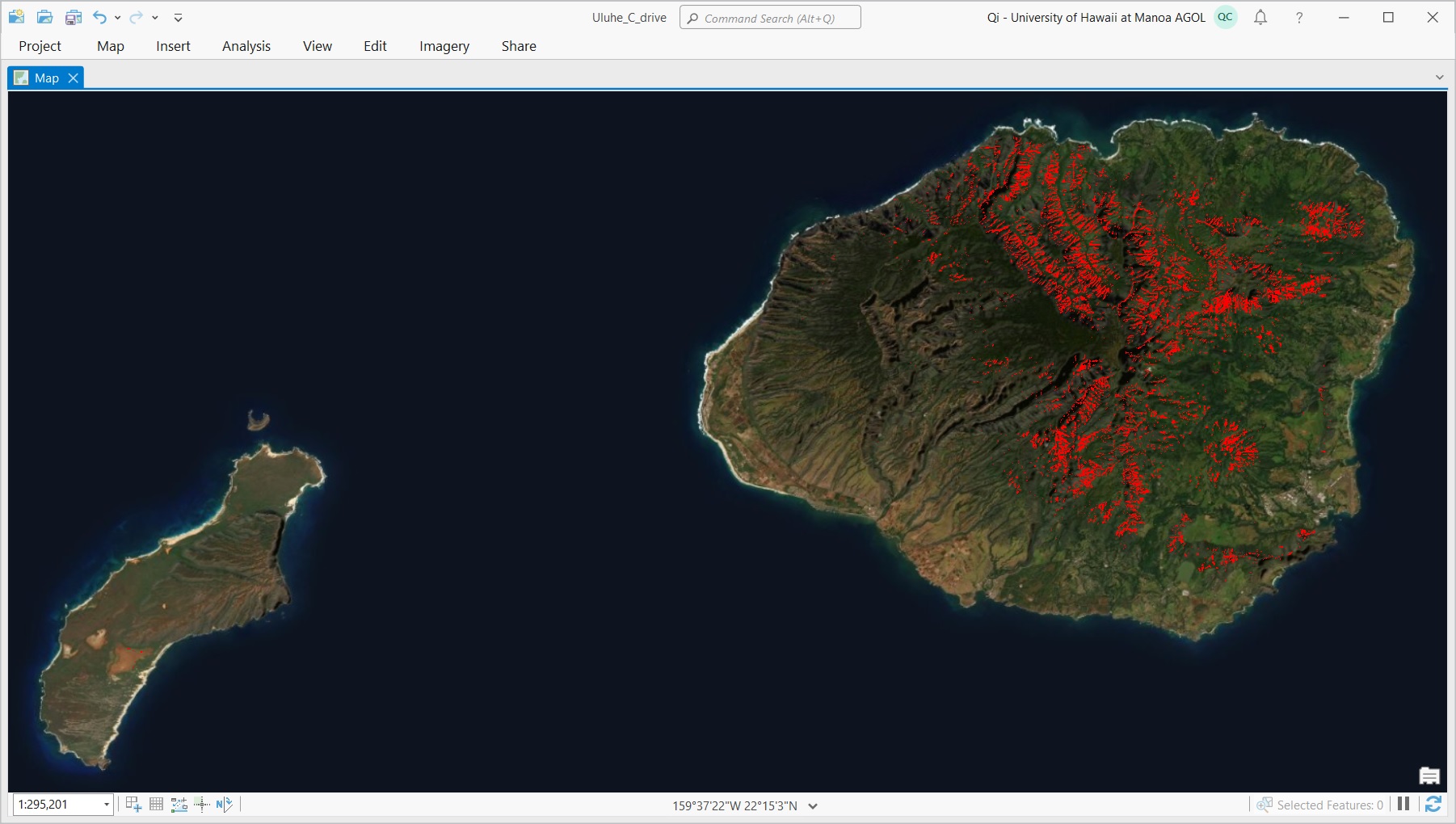
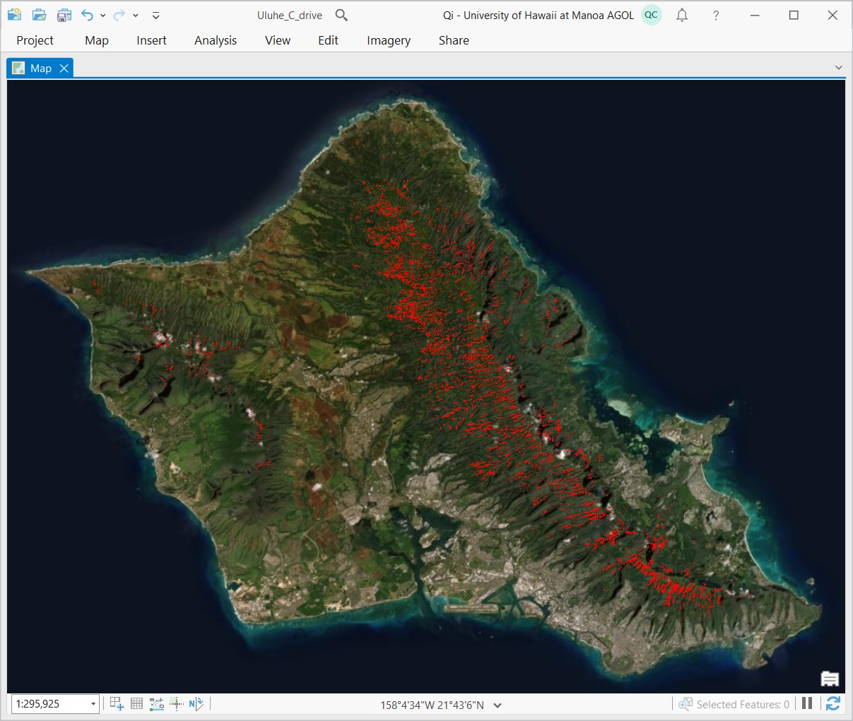
Uluhe (false staghorn fern, Dicranopteris linearis) is a keystone species that plays an important role of conserving the pristine Hawaiian ecosystems by 1) rapidly colonizing bare ground after volcano eruption, landslide, or agricultural abandonment, 2) preventing invasive weeds from establishment, 3) improving water quality by stabilizing soil over steep slope and reducing soil erosion, and 4) providing critical habitat for endemic and endangered species such as the Hawaiian petrel.
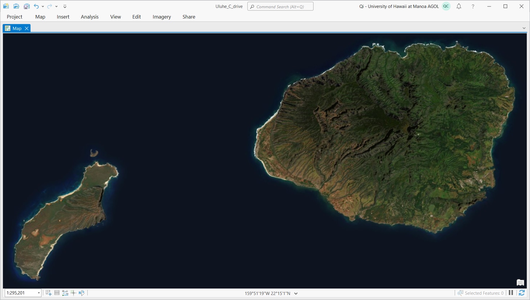
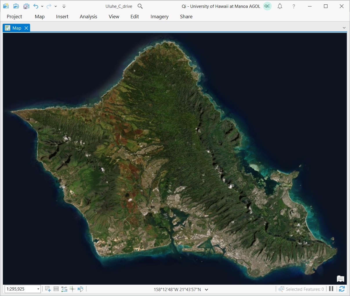
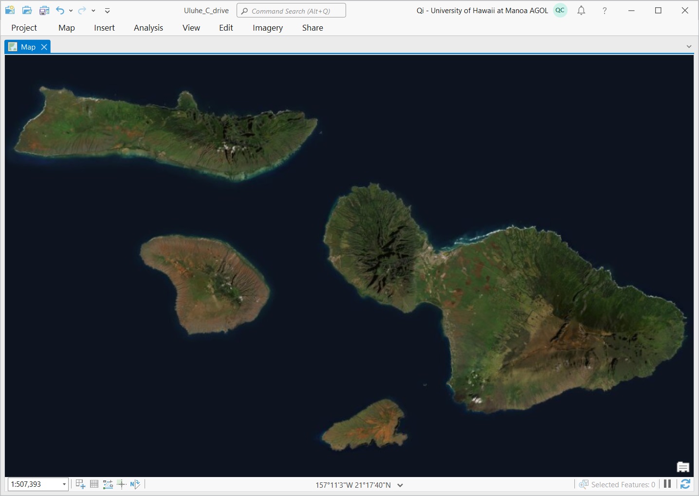
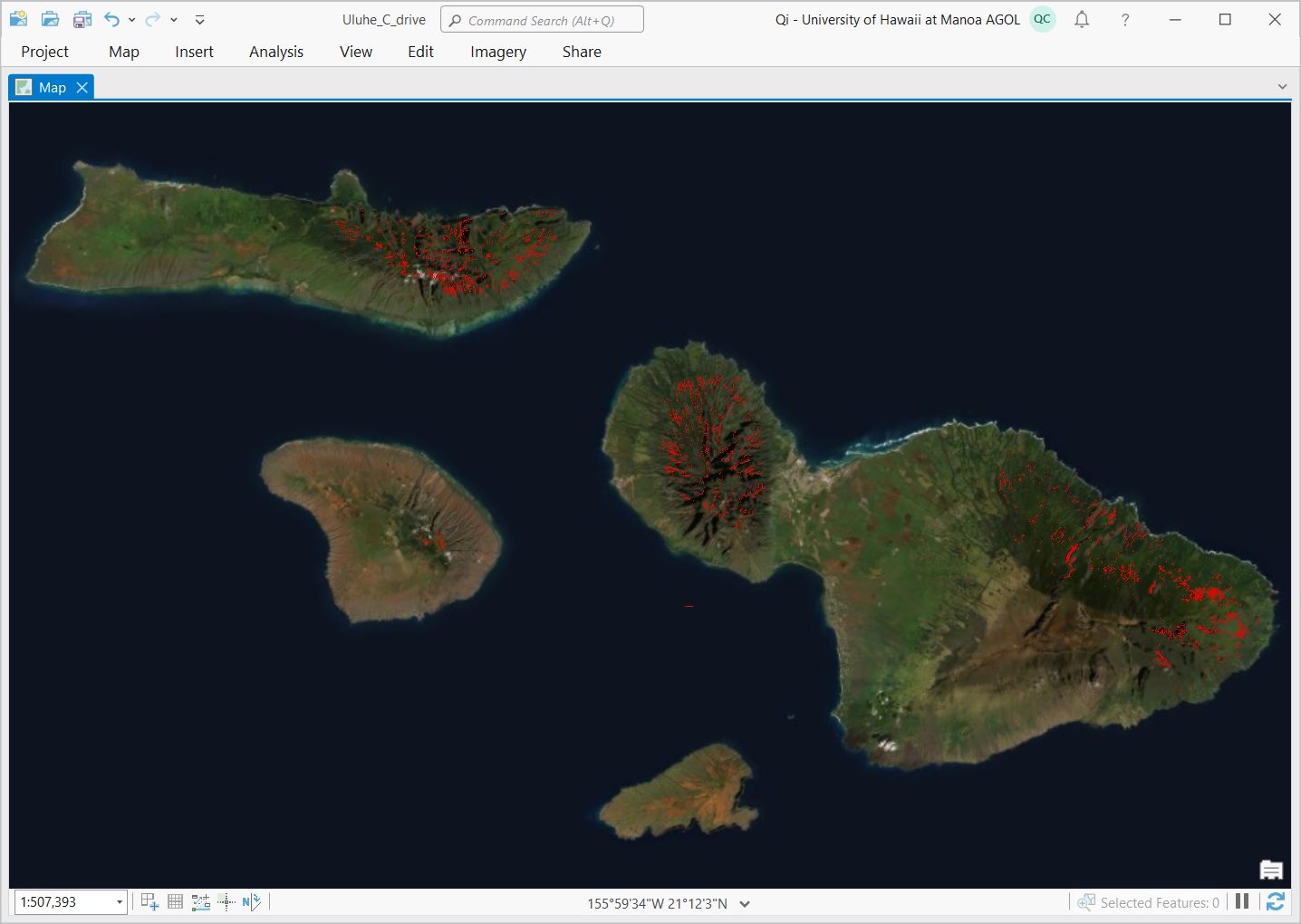
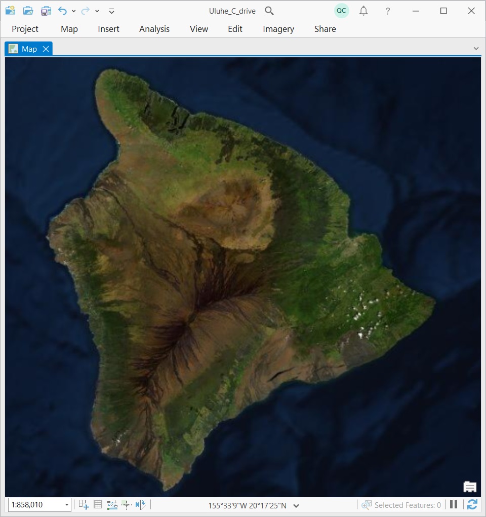
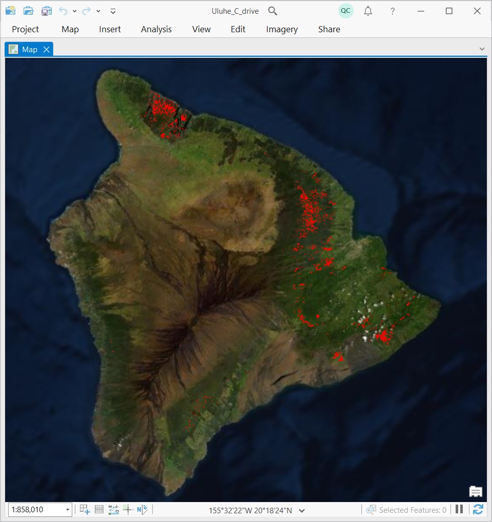
Uluhe (L8) is the first statewide map of Uluhe in Hawaii that was produced using Landsat-8 cloud-free mosaics.
Want the entire state maps? Click here.
Disclaimer and Term of Use: The data is provided AS IS. We make no warranty of any kind, express or implied, concerning this information, including but not limited to any warranties of merchantability or fitness for any particular purpose. We assume no responsibility or legal liability concerning the Data’s accuracy, reliability, completeness, timeliness, or usefulness. Please acknowledge HawaiiView and PI Qi Chen if you use the data.
