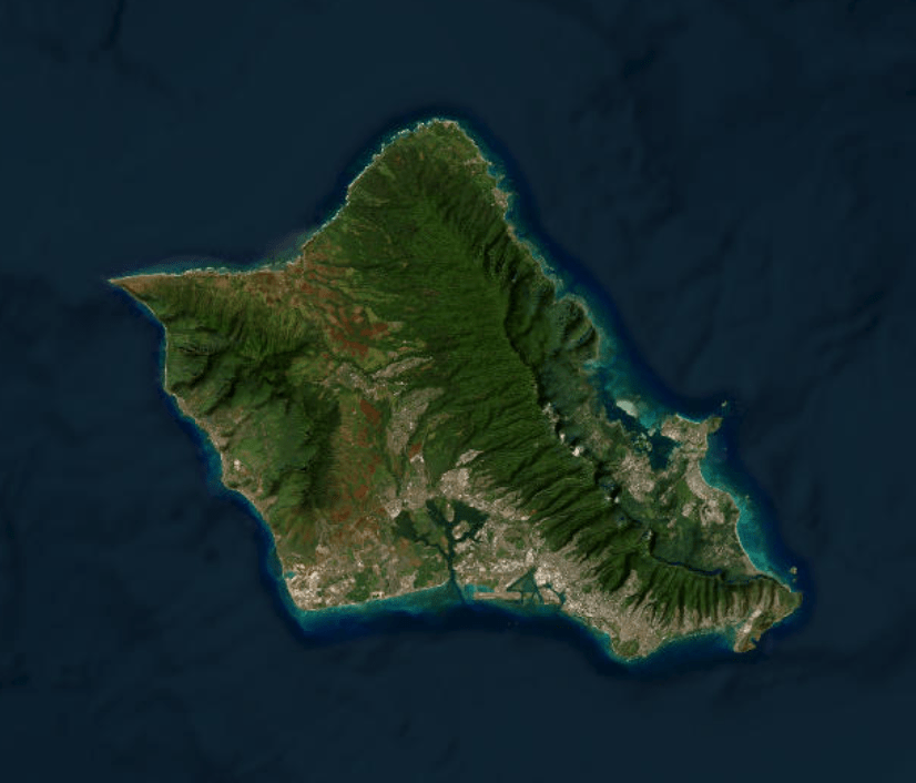
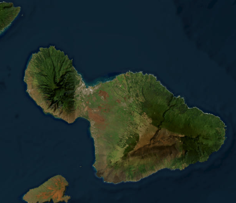
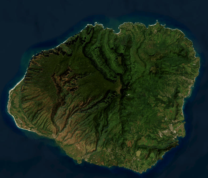
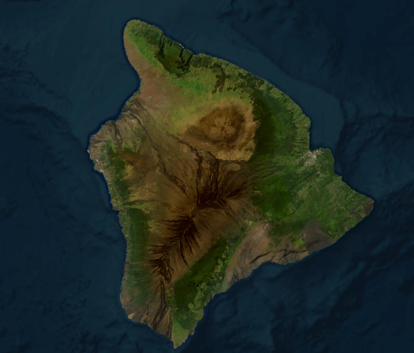
We leverage two key remote sensing datasets,
Click an island below to see the maps we have produced so far.
Landsat and Lidar (“L2”),
to produce accurate forest height maps (“FHM”) or
vegetation height maps (“VHM”)
for different islands of Hawaii.
-
Subscribe
Subscribed
Already have a WordPress.com account? Log in now.
